


 Play store

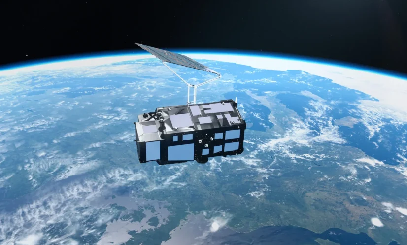
Europe’s new Copernicus Sentinel-3C satellite has delivered its first images of Earth just two weeks after reaching orbit, capturing landscapes ranging from the snow-covered Alps to the frozen Arctic and the turquoise waters of the Caribbean.
Beyond the striking images, the satellite has begun measuring ocean heights and the elevation of Greenland’s vast ice sheet, demonstrating its potential to monitor changes in Earth’s climate.
The first images and measurements were obtained using two of the satellite’s key instruments, both of which are performing well during initial testing.
Sentinel-3C is the third spacecraft in the European Sentinel-3 satellite series, a central component of the Copernicus Earth observation programme. Its instruments are designed to collect data on oceans, land, the atmosphere and Earth’s frozen regions.
Over the oceans, the satellite measures sea surface temperature, colour and height, as well as sea ice thickness. The observations can help scientists monitor marine pollution, identify marine heatwaves and track changing ocean conditions.
On land, the mission provides information on droughts, wildfires, vegetation health and land use. It also measures water levels in rivers and lakes and monitors changes in the elevation of polar ice sheets.
The data are expected to support weather forecasting and help researchers track long-term environmental changes associated with global warming.
The European Space Agency (ESA) is continuing to test and commission Sentinel-3C before it begins full operations, a process expected to take another five months.
One of the satellite’s first images, captured on September 30 by its ocean and land colour instrument, shows Italy and the surrounding region, extending from southern Germany across the Italian peninsula to Sicily and the southern Mediterranean.
The image reveals the fertile Po Valley, the snow-covered Alps and variations in vegetation and farmland. It also shows the Adriatic and Tyrrhenian seas, along with the islands of Sardinia, Sicily and Corsica.
Differences in water colour along Italy’s eastern coast may reflect sediment carried into the sea by rivers and redistributed by coastal currents.
Another image captured on the same day focuses on the Canadian Arctic Archipelago, west of Greenland. Snow and ice cover many of the islands, while exposed rock, rugged coastlines and deep fjords create intricate patterns across the region.
The image was taken around the time when Arctic sea ice typically reaches its annual minimum. Much of the surrounding water appears dark and open, with scattered fragments of floating ice still visible.
These observations are important as the Arctic is warming considerably faster than the global average. Rising temperatures are contributing to the loss of glacier and ice-sheet mass and the decline of sea ice.
As reflective ice disappears, darker ocean water absorbs more solar energy, potentially accelerating regional warming.
By combining detailed imagery with precise environmental measurements, Sentinel-3C is expected to strengthen Europe’s ability to monitor the oceans, land and polar regions and improve understanding of the effects of climate change.