


 Play store

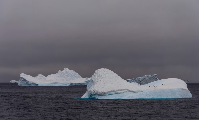
Antarctic sea ice reached its annual winter maximum in September 2026, but its coverage was the third lowest since satellite records began, adding to evidence of a major shift in the frozen waters surrounding the continent.
The ice likely reached its peak on September 14, covering about 17.59 million square kilometres (6.79 million square miles), according to NASA and the National Snow and Ice Data Center (NSIDC).
Antarctic sea ice normally expands during the Southern Hemisphere’s winter, reaching its maximum extent in September before retreating to its annual minimum in February.
Unlike the Arctic, where an ocean basin is surrounded by land, Antarctica is encircled by a vast ocean. This allows sea ice to spread over large areas during winter, although the ice extends into warmer waters where it is more vulnerable to melting during summer.
For decades, Antarctic sea ice appeared to be following a different trend from the rapidly declining ice in the Arctic. Between 1979 and 2014, its extent increased by about 1 per cent per decade, with record winter highs recorded in three consecutive years from 2012 to 2014.
However, the trend reversed after 2015. From 2016, Antarctic sea ice experienced substantial losses and has generally remained below its historical average, despite modest recoveries in some years.
The most extreme decline occurred in 2023, when Antarctica recorded its lowest summer minimum and winter maximum since satellite observations began. The third-lowest winter maximum in 2026 adds to concerns over the changing pattern.
Scientists are monitoring the annual fluctuations to determine whether the recent declines signal a lasting transformation in Antarctic sea ice or fall within the range of natural variability.
Researchers track the ice using satellites equipped with passive microwave sensors, which detect microwave energy emitted by the Earth’s surface. As sea ice produces a different signal from open ocean water, the instruments can distinguish frozen areas from ice-free waters.
The technology also allows observations through cloud cover, enabling scientists to monitor the region throughout the year.
The satellite record began in late 1978 with observations from NASA’s Nimbus-7 spacecraft. Data from satellites operated under the US Defense Meteorological Satellite Program have also contributed to the long-term record, while Japan’s GCOM-W satellite has provided additional observations since 2025.
The decades-long record is crucial for understanding whether the recent losses mark a sustained change in Antarctica’s sea ice and for assessing the wider implications of a changing climate.