


 Play store

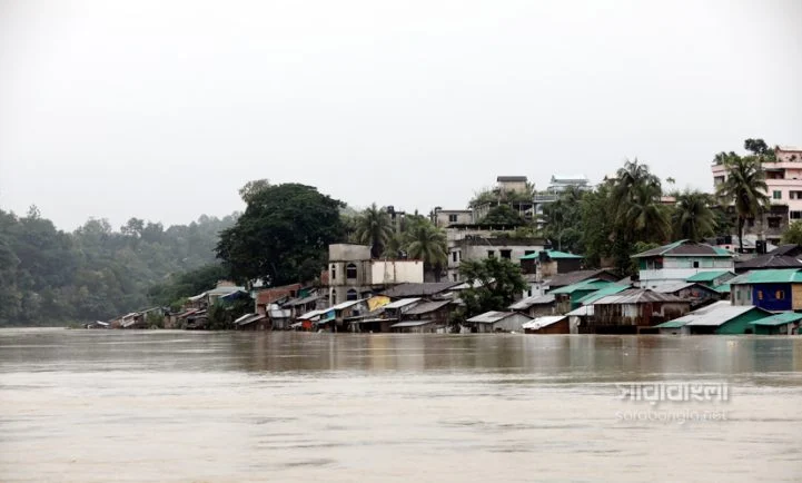
Rising water levels in Bangladesh’s major rivers have heightened the risk of flooding in several low-lying regions, particularly in the country’s north, northeast, and southeast, according to the Flood Forecasting and Warning Centre (FFWC) under the Bangladesh Water Development Board (BWDB).
The latest flood forecast indicates that river basins in Sylhet, Sunamganj, and Naogaon are at increasing risk as water levels continue to rise. The Surma and Kushiyara rivers in the northeast, along with the Atrai River in Naogaon, are expected to approach or exceed danger levels, raising concerns about flooding in vulnerable areas.
In the northern region, water levels in the Teesta, Dharla, and Dudhkumar rivers are also increasing. As a result, low-lying parts of Lalmonirhat, Nilphamari, Rangpur, Gaibandha, and Kurigram districts could reach warning levels in the coming days.
Meanwhile, the Brahmaputra-Jamuna river system is also swelling, creating the possibility of inundation in low-lying areas of Kurigram, Jamalpur, Bogura, Sirajganj, and Tangail districts.
In the southeast, authorities are closely monitoring water levels in the Sangu and Matamuhuri river basins, which flow through Bandarban, Chattogram, and Cox’s Bazar, where further rainfall could worsen the situation.
The FFWC has advised local administrations and residents in flood-prone areas to remain vigilant and take necessary precautions as river levels continue to rise. Officials said the flood situation will depend on future rainfall and upstream water flows, and they will continue to monitor developments closely.