


 Play store

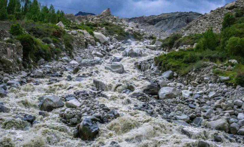
Researchers at Newcastle University have carried out the first comprehensive modelling of glacial lake outburst flood (GLOF) risk in Bhutan and identified previously unrecognised high-risk lakes.
Importantly, the research also identified communities living downstream that are at risk.
Published in Natural Hazards and Earth System Sciences , the team combined advanced flood modelling with analysis of downstream communities and infrastructure, linking individual glacial lakes to the people, buildings and transport networks that could potentially be affected by flooding.
This new approach combines both exposure and vulnerability to calculate risk – factors that have often been treated separately or only partially included in earlier assessments.
As the climate gets warmer, glaciers retreat and meltwater collects at the front of the glacier forming a lake. These lakes can suddenly burst and create a fast-flowing Glacial Lake Outburst Flood (GLOF) which can quickly spread over a large distance from the original site – up to 400 kilometres in some cases.
GLOFs can be highly destructive and damage property, infrastructure, and agricultural land and can lead to significant loss of life.
The data revealed in this study indicated that more than 11,000 people, more than 2,500 buildings, more than 250 kilometres of road, approximately 20 km² of farmland and more than 400 bridges are located in areas that could be within the flood zone following a GLOF event.
The results offer a framework for enhancing existing GLOF risk reduction strategies and provide a more systematic basis for prioritising monitoring, mitigation and preparedness measures.
Lead researcher, Sonam Rinzin, a Doctoral student at Newcastle University, said: “By combining flood modelling with mapped infrastructure and population data, we have provided a more detailed picture of potential downstream impacts.
Rather than focusing solely on the physical characteristics of lakes to determine the risk of a GLOF, our study demonstrates how integrating hydrodynamic modelling with socioeconomic data can provide a more robust basis for refining and prioritising preparedness planning.”