Play store

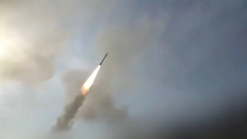
Iran’s ability to accurately target US forces and track vessels in the Strait of Hormuz has significantly improved with satellite imagery and intelligence support provided by Chinese groups, according to recent US intelligence assessments.
Four sources familiar with the assessments told CNN that Chinese geospatial data has helped Iran improve the accuracy of missile and drone attacks.
The support was also linked to a July strike on a US military base in Jordan that killed three American service members.
US officials believe the precision of that attack would otherwise have been beyond Iran’s capabilities.
A US official said Chinese geospatial data has enabled Iran to better track ships in the Strait of Hormuz, increasing the likelihood of its missiles and drones hitting their targets.
The data has also reportedly helped Iranian forces determine when to launch relatively unsophisticated heat-seeking drones that cannot be redirected after launch.
US officials said, however, that the exact scale of Chinese assistance remains difficult to determine.
It is unclear whether Beijing has directly ordered the support or is simply allowing it to continue, while US officials differ over the extent of China’s involvement.
The intelligence support is considered one of several factors behind Iran’s improved military effectiveness.
Russia has also provided support to Tehran, while Iranian forces have gained battlefield experience during the conflict.
China has denied allegations that it is providing assistance intended to alter the course of the conflict.
US Secretary of State Marco Rubio has also said China has not done anything that changed the trajectory of the conflict.